


May 23, 2009
Road Trip (not by design)
So this morning I and a couple friends arranged to take a short drive outside of town and hike Four Peaks, a local geographic landmark northeast of Phoenix.
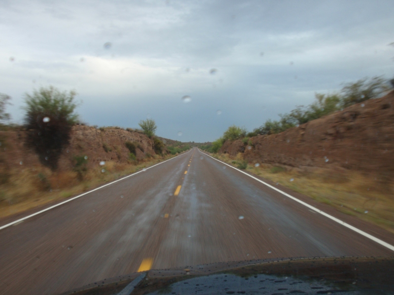
However, when they saw the weather looking like this...
Ok, maybe it looked a bit more like this...
Suffice to say I quickly found myself on my own. So I decided to at least drive up and see how things looked (but I'm not dumb enough to do the full hike alone).
(It gets picture-heavy below the fold)
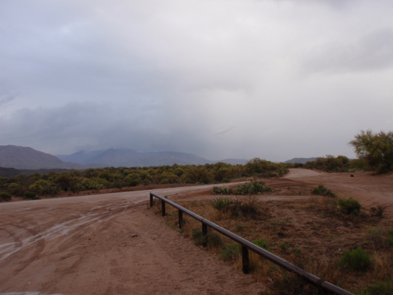
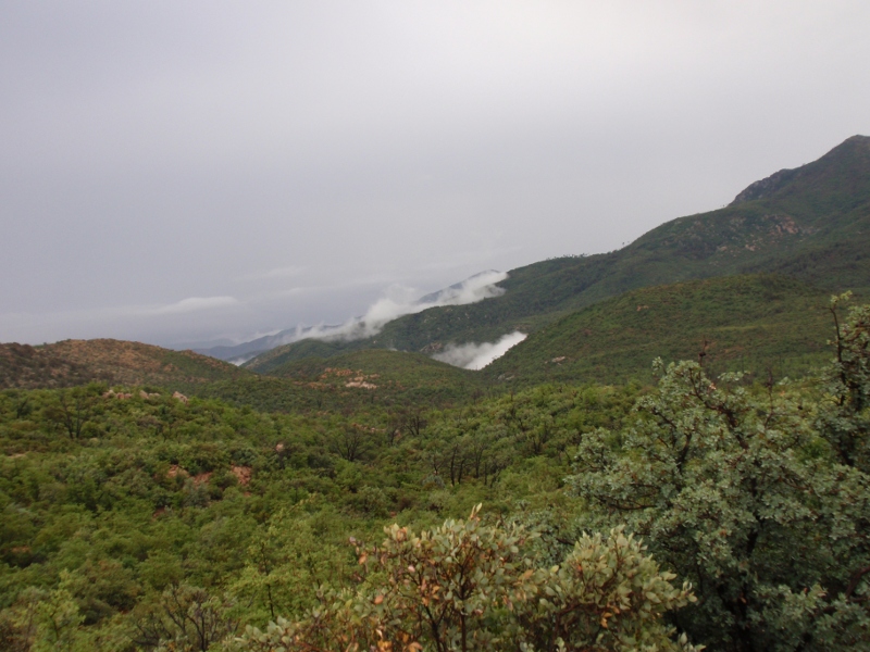
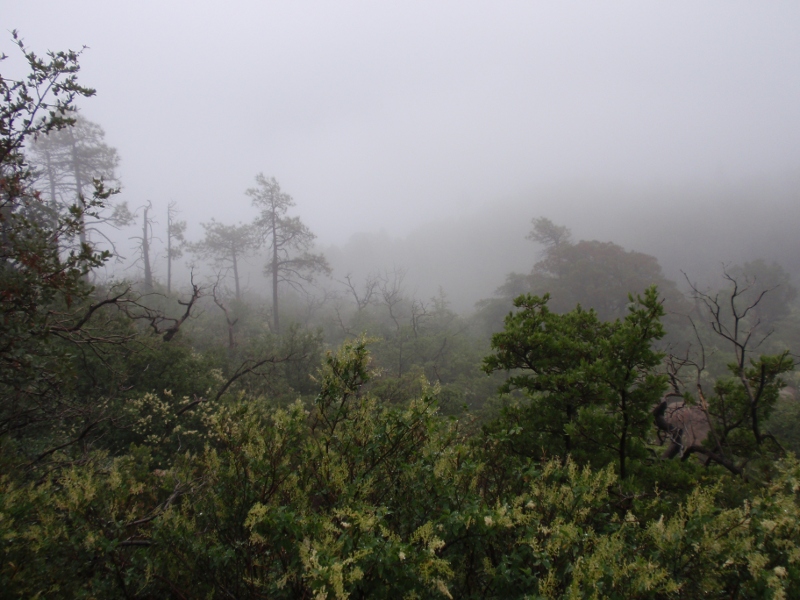
When I finally got to the first bit of mud road, the mountain was engulfed in a huge raincloud. (somewhere right of center)
There was some running water, but nothing at all out of hand.

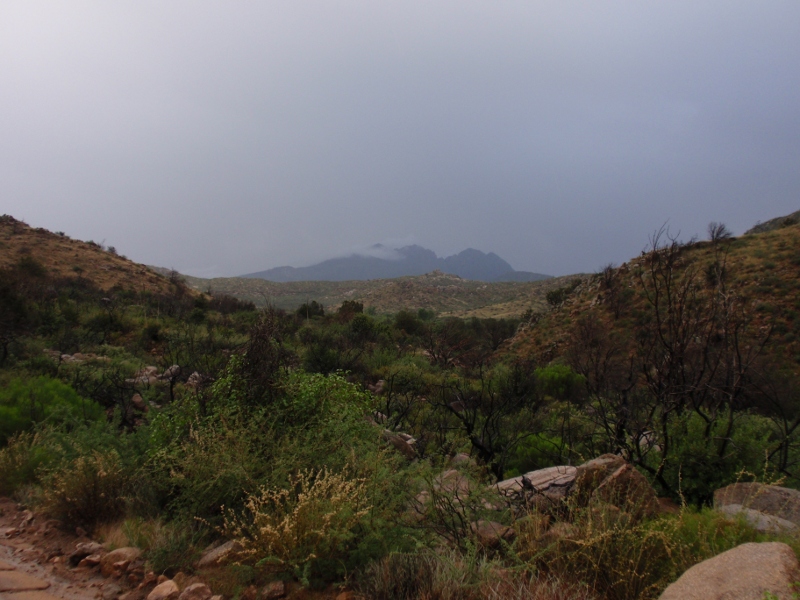
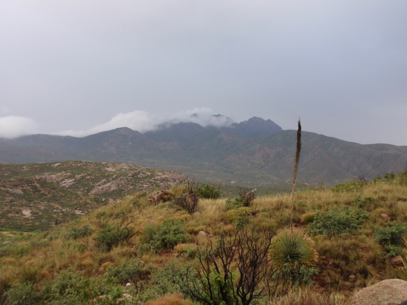
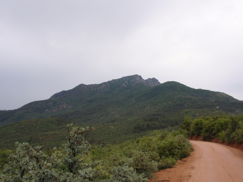
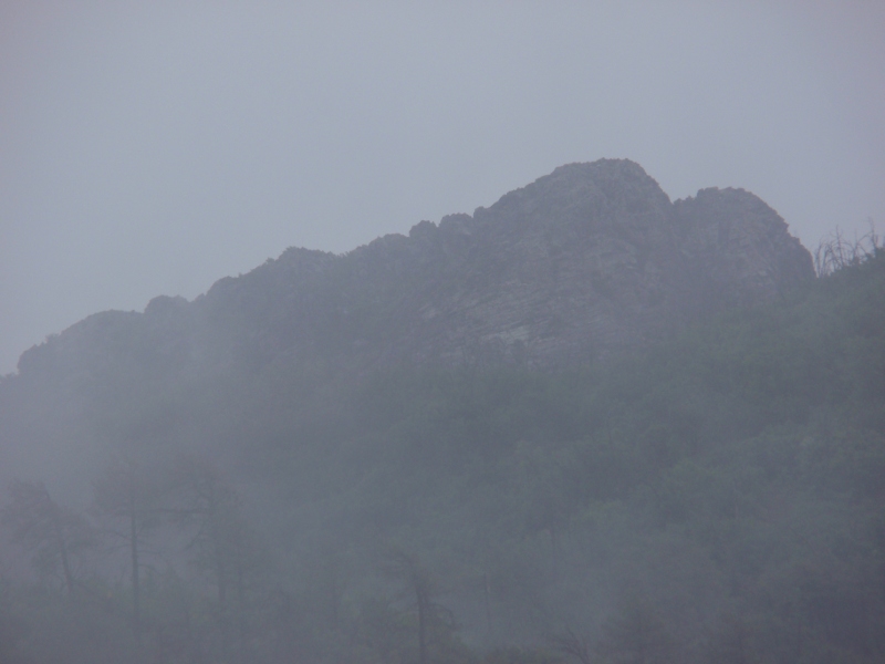
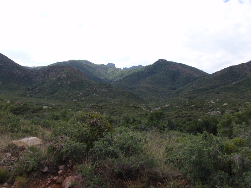
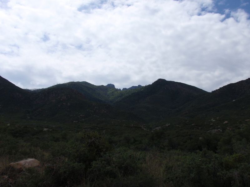
After a couple miles of bad road, the mountain decided to make an appearance.
Up a little closer.
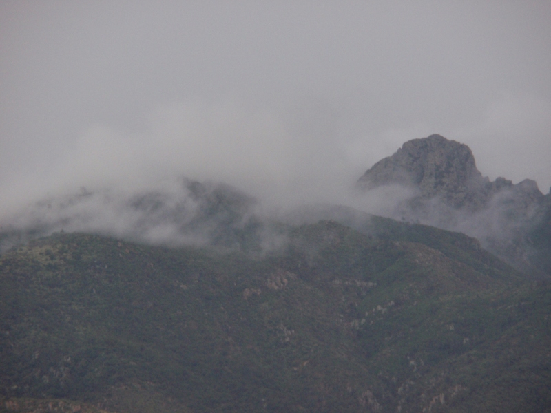
Of the four, only Brown's Peak (the northern and left-most of the four) has something resembling a trail to the summit. And it was still playing peek-a-boo with the clouds.
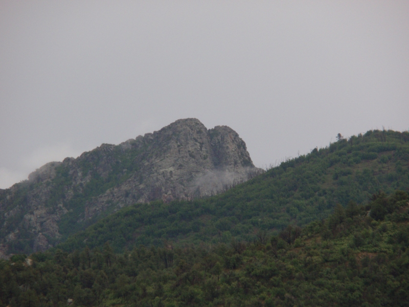
As you get around to the north side of the peak (and the clouds clear), you get a glimpse of the crag wgere the "trail" works up to the summit.
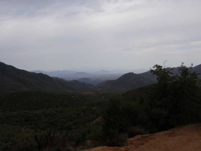
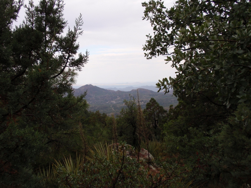
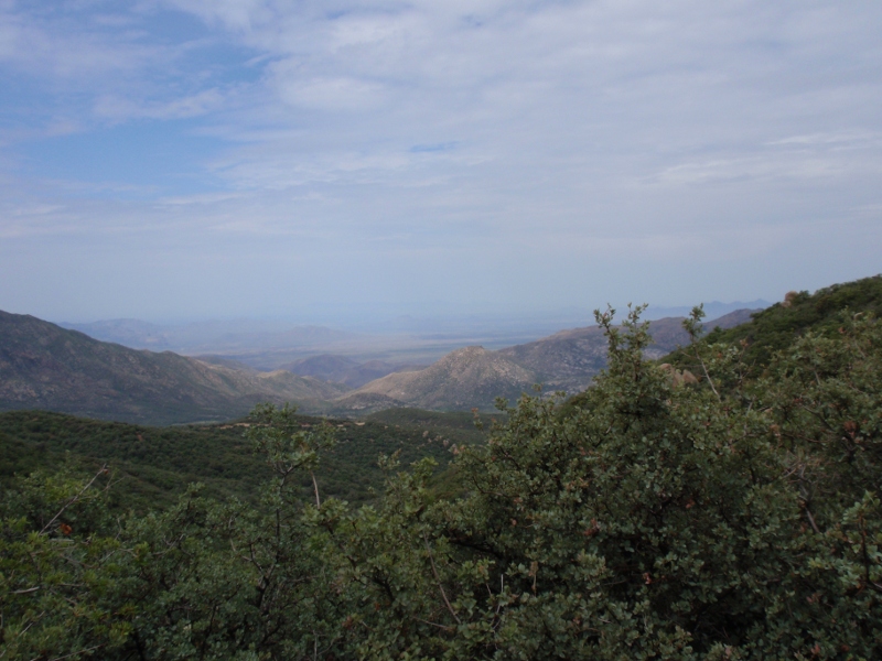
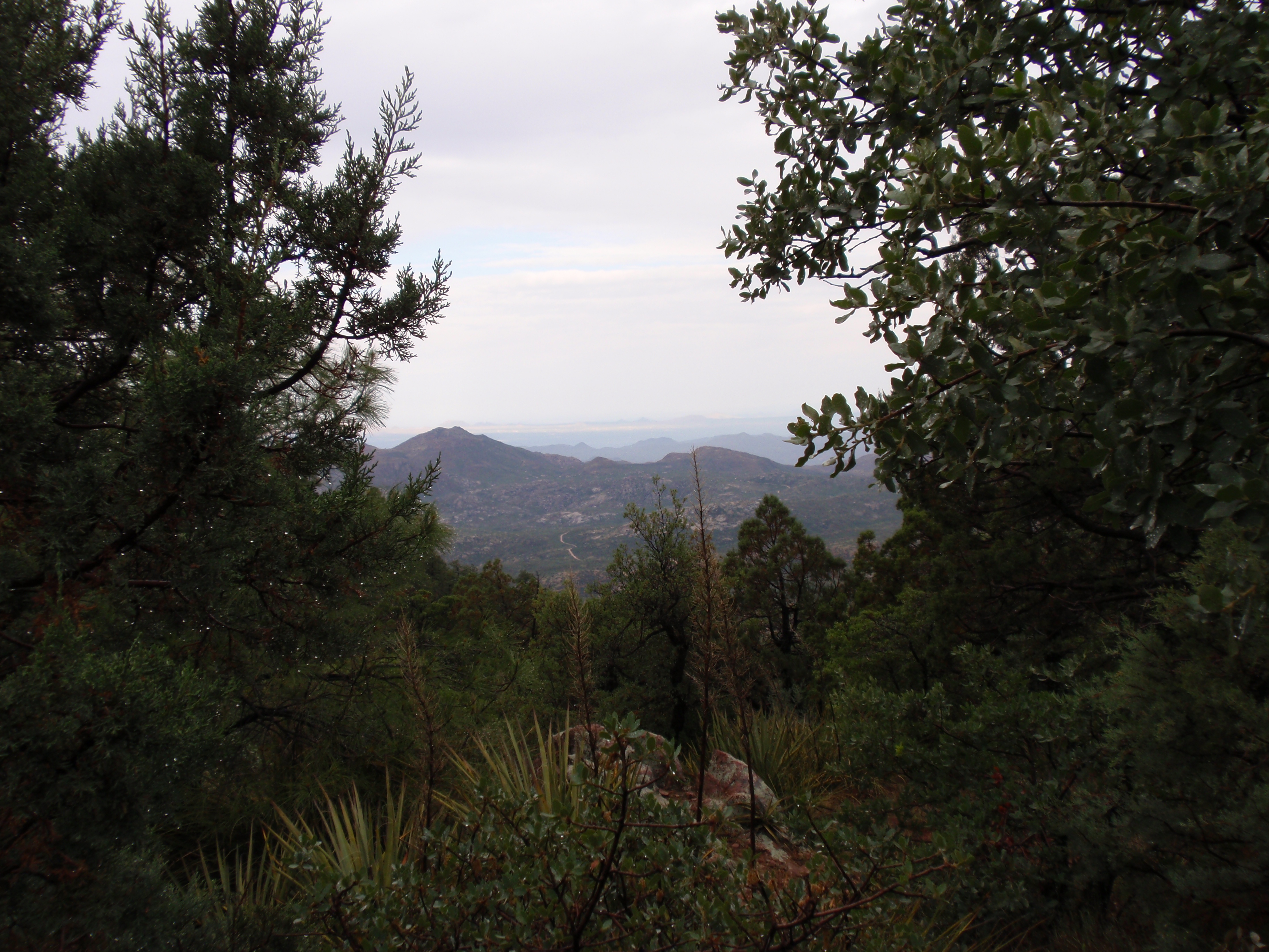
Here's a quick shot from the same location looking back toward the Phoenix metro area.
The road to the trailhead crest the Mazatzal divide about a mile north of the trailhead parking lot, before tracing the ridgeline south. From here, you can (normally)look down the back side of the mountain range on to Roosevelt Lake and the Tonto Basin. In this case, I'm between cloud layers and the lake is somewhere in that pea-soup.
Here's a good shot south along the ridgeline road to the north side of the peak.
This the the view looking west into Phoenix from just off the trailhead parking lot, and here's a link to the full size image (3.7MB).
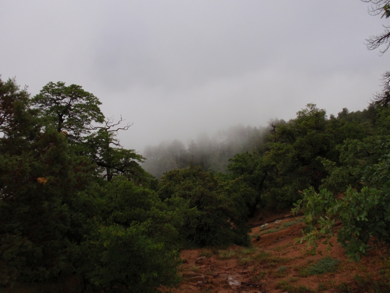
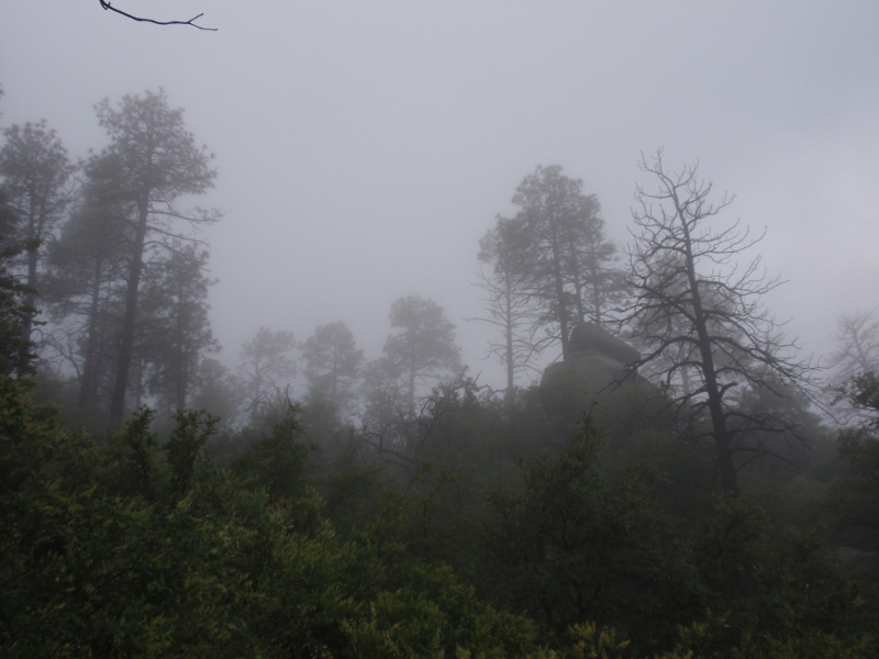
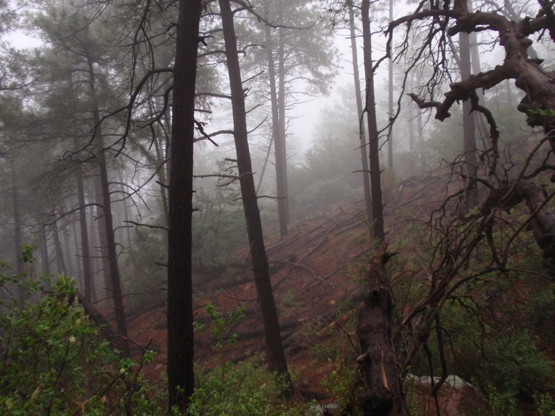
Just as I was about to take a quick scouting trip up the trail, the clouds started rolling up the east face.
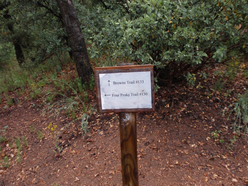
Four Peaks Trail runs along the east face of the peaks; Brown's trail hugs the ridgeline all the way to the base of the first peak.
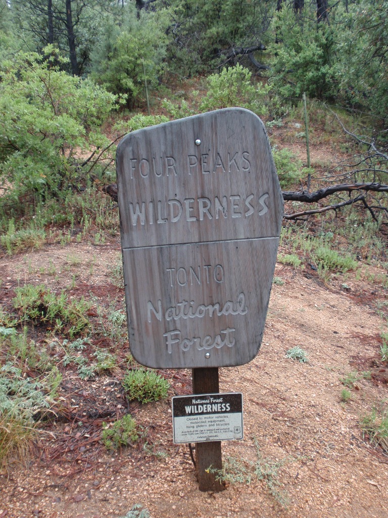
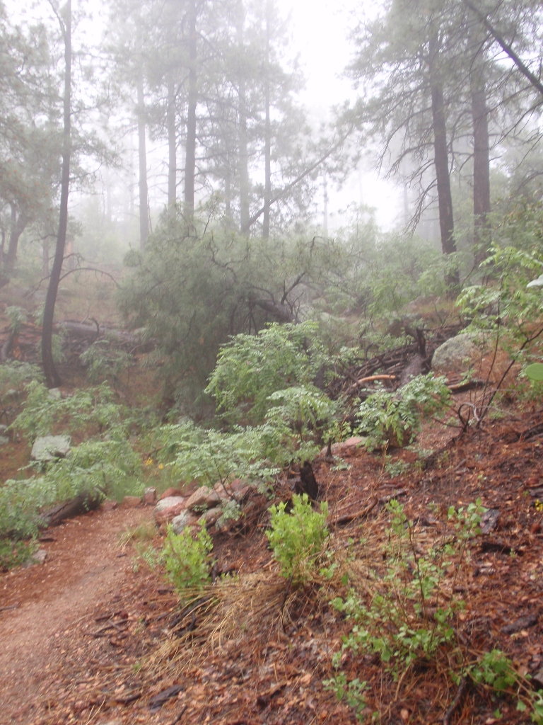
The wilderness line is just off the trailhead.
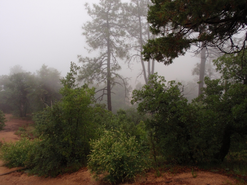
Now the clouds really started to roll in. Somewhere down there is the parking lot.
There's just something creepy-awesome about this picture. Silent Hill meets the promotional images for Oblivion. (Full size - 3.0MB)
This one turned out really well too. (Full size - 3.4MB)
It got pretty easy to forget you were in Arizona at the end of May. It would normally be 100ºF and dry. Everything was soaked, and it hadn't cracked 60ºF yet.
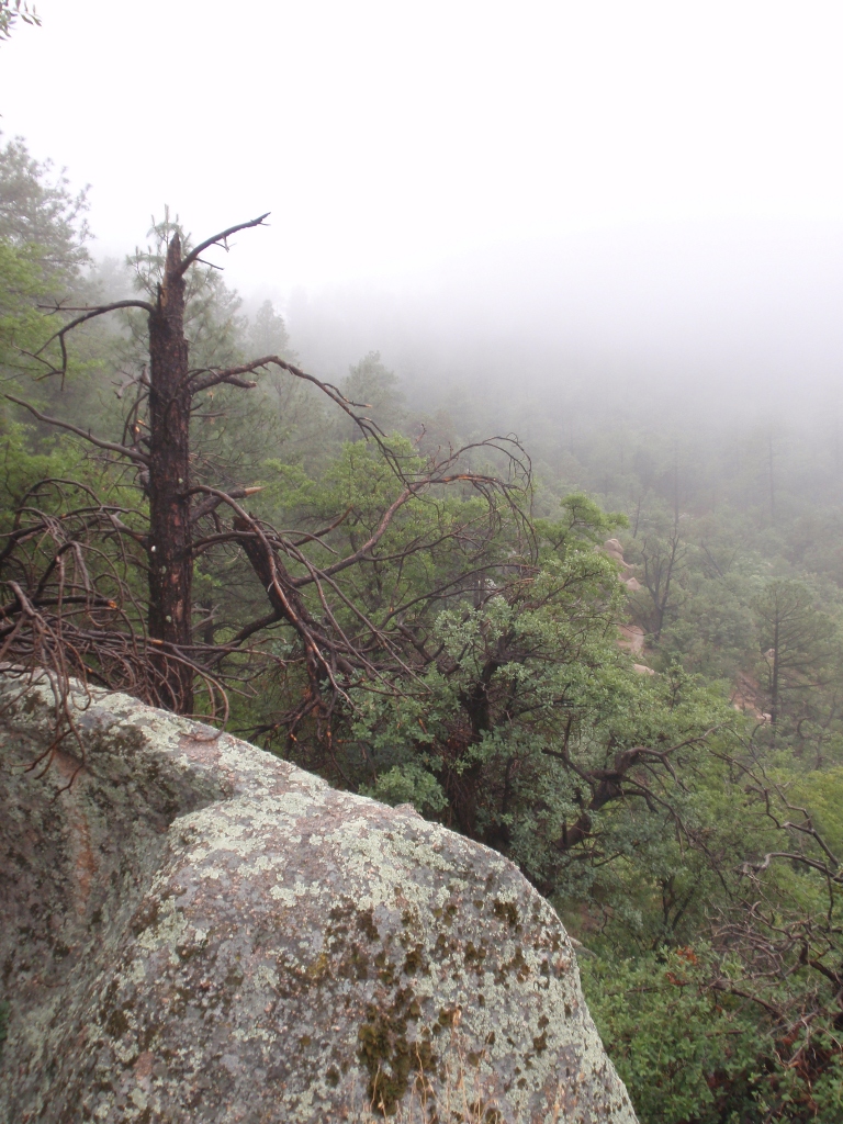
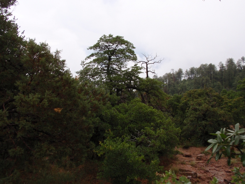
The area is full of geology like this.
You'd almost expect Charlie to jump out at you any second.
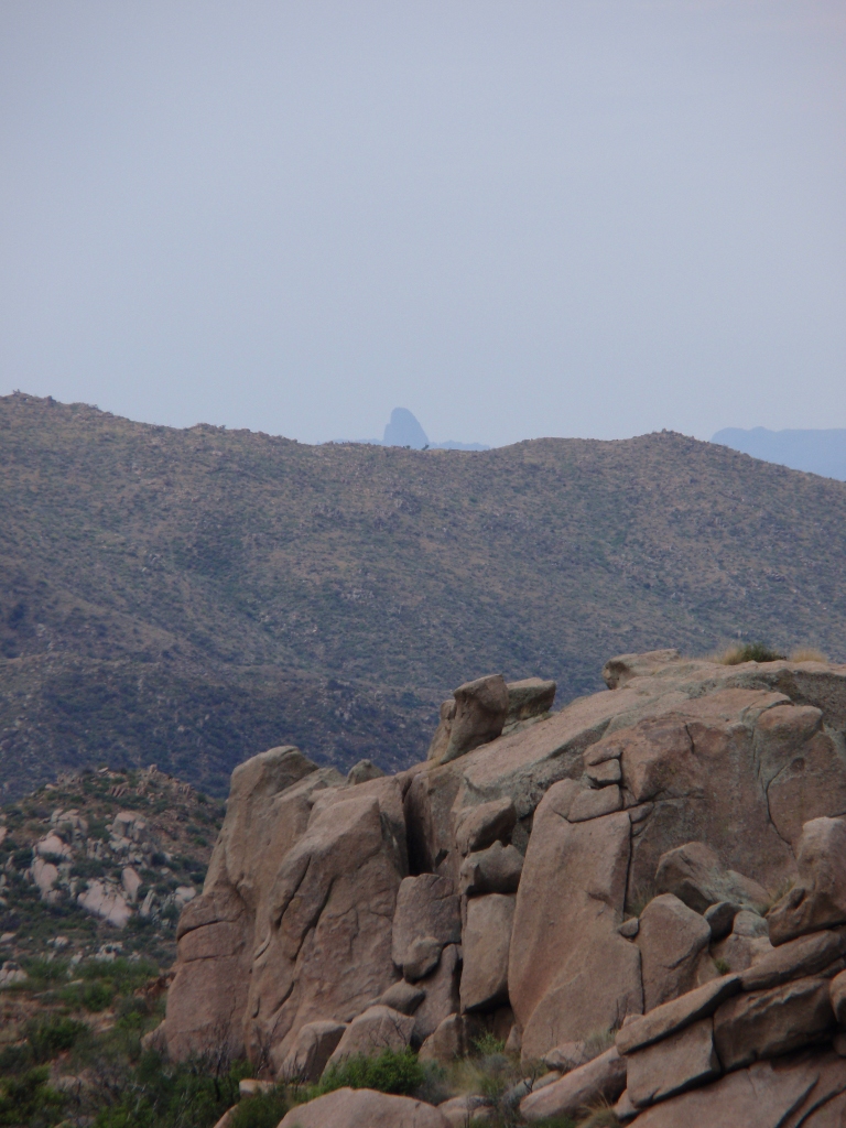
From that same location, I zoomed way in on the peak. I turned around at this point.
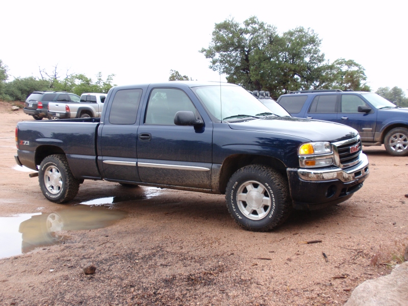
This is my ride parked at the trailhead. (The blue Expedition in the background was the only vehicle there when I arrived. The Liberty just behind was a group of college kids from the local MWU campus. The Expedition had what sounded like a pin-hole leak in their back right tire, but I didn't have a pen or paper to leave them a note to look it over.)
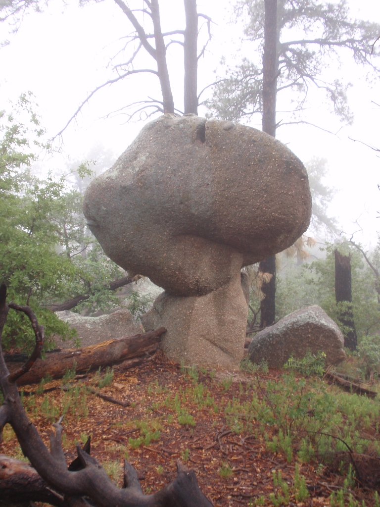
Here's another image that turned out really nice. I dropped my camera a couple months back while on a construction site. Ever since, it seems like the images just aren't as sharp. (Full size - 3.3MB)
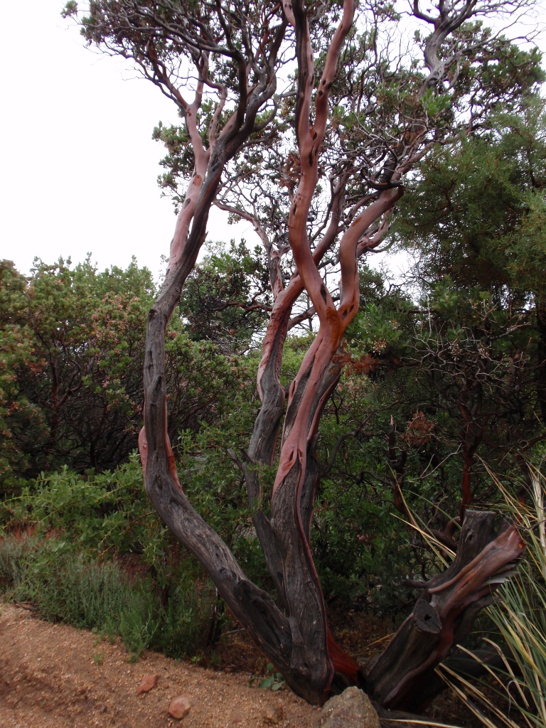
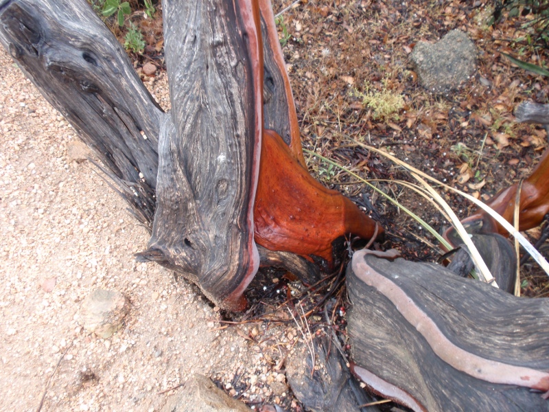
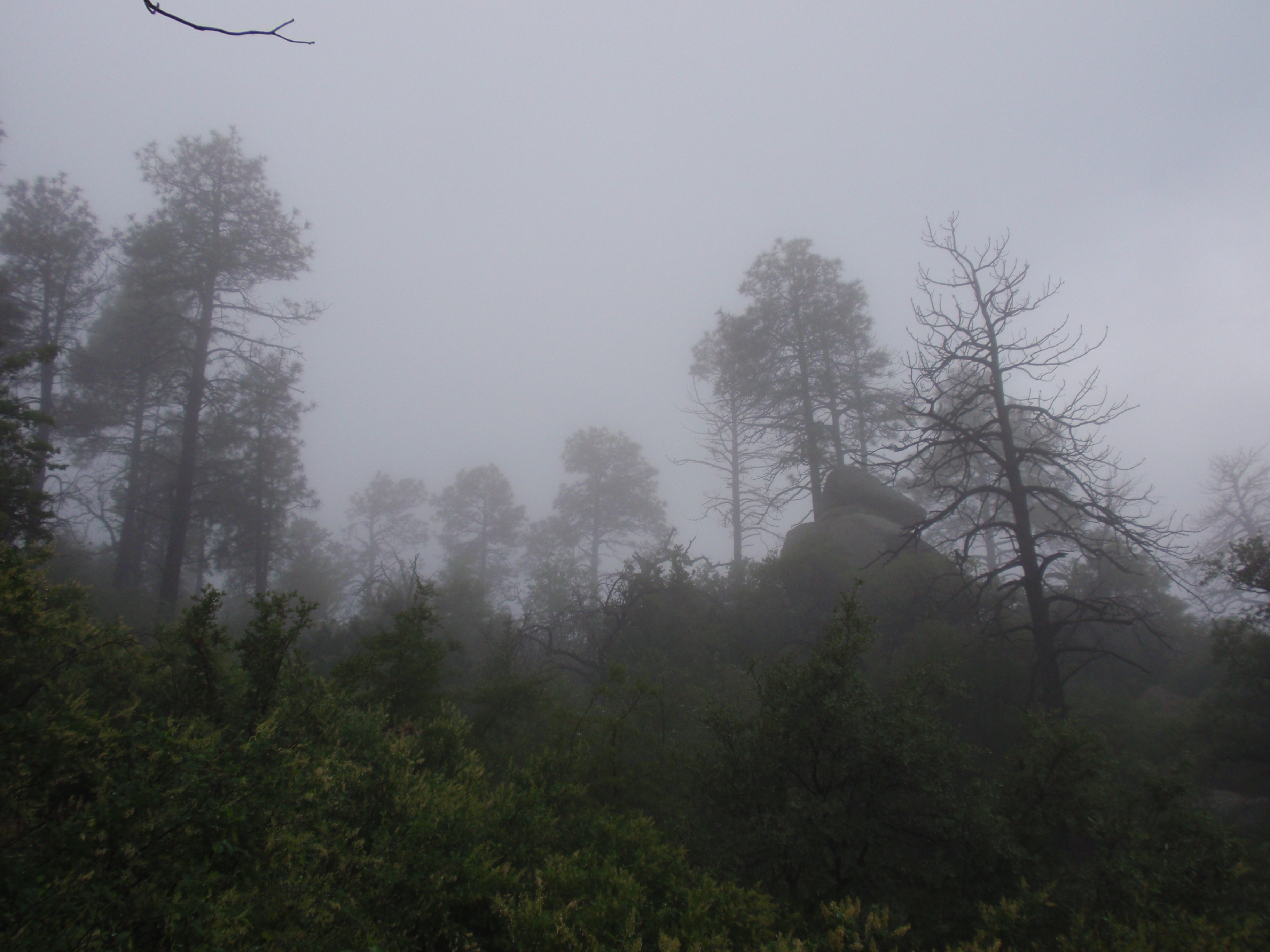
Many years ago, a fire swept over the north end of the peaks. Very little of the original pine forest is left. In its place, you've got tons of this Manzanita scrub. When it's wet, the orange color of the bark really stands out.
Here's one last look down toward Phoenix from the ridgeline. This time there's a lot more light.
On the way back down I decided to take one more picture of the peaks, but the auto adjusting shutter was giving me fits. I may have to try my hand at splice the good sky with the lighter ground.
South of the Four Peaks wilderness lies the Superstition Wilderness. Deep inside that wilderness area is Weaver's Needle, a giant stone phallus not visible from Phoenix Metro Occasionally you catch a glimpse when driving around to the north or south.
That's only just the top. It stands much further above the local terrain than this picture would lead you to believe.
And with that, I'm done. It will be at least five months before the weather is nice enough again to bother attempting a hike.
Comments are disabled.
Post is locked.
However, when they saw the weather looking like this...
Ok, maybe it looked a bit more like this...
Suffice to say I quickly found myself on my own. So I decided to at least drive up and see how things looked (but I'm not dumb enough to do the full hike alone).
(It gets picture-heavy below the fold)
When I finally got to the first bit of mud road, the mountain was engulfed in a huge raincloud. (somewhere right of center)
There was some running water, but nothing at all out of hand.
After a couple miles of bad road, the mountain decided to make an appearance.
Up a little closer.
Of the four, only Brown's Peak (the northern and left-most of the four) has something resembling a trail to the summit. And it was still playing peek-a-boo with the clouds.
As you get around to the north side of the peak (and the clouds clear), you get a glimpse of the crag wgere the "trail" works up to the summit.
Here's a quick shot from the same location looking back toward the Phoenix metro area.
The road to the trailhead crest the Mazatzal divide about a mile north of the trailhead parking lot, before tracing the ridgeline south. From here, you can (normally)look down the back side of the mountain range on to Roosevelt Lake and the Tonto Basin. In this case, I'm between cloud layers and the lake is somewhere in that pea-soup.
Here's a good shot south along the ridgeline road to the north side of the peak.
This the the view looking west into Phoenix from just off the trailhead parking lot, and here's a link to the full size image (3.7MB).
Just as I was about to take a quick scouting trip up the trail, the clouds started rolling up the east face.
Four Peaks Trail runs along the east face of the peaks; Brown's trail hugs the ridgeline all the way to the base of the first peak.
The wilderness line is just off the trailhead.
Now the clouds really started to roll in. Somewhere down there is the parking lot.
There's just something creepy-awesome about this picture. Silent Hill meets the promotional images for Oblivion. (Full size - 3.0MB)
This one turned out really well too. (Full size - 3.4MB)
It got pretty easy to forget you were in Arizona at the end of May. It would normally be 100ºF and dry. Everything was soaked, and it hadn't cracked 60ºF yet.
The area is full of geology like this.
You'd almost expect Charlie to jump out at you any second.
From that same location, I zoomed way in on the peak. I turned around at this point.
This is my ride parked at the trailhead. (The blue Expedition in the background was the only vehicle there when I arrived. The Liberty just behind was a group of college kids from the local MWU campus. The Expedition had what sounded like a pin-hole leak in their back right tire, but I didn't have a pen or paper to leave them a note to look it over.)
Here's another image that turned out really nice. I dropped my camera a couple months back while on a construction site. Ever since, it seems like the images just aren't as sharp. (Full size - 3.3MB)
Many years ago, a fire swept over the north end of the peaks. Very little of the original pine forest is left. In its place, you've got tons of this Manzanita scrub. When it's wet, the orange color of the bark really stands out.
Here's one last look down toward Phoenix from the ridgeline. This time there's a lot more light.
On the way back down I decided to take one more picture of the peaks, but the auto adjusting shutter was giving me fits. I may have to try my hand at splice the good sky with the lighter ground.
South of the Four Peaks wilderness lies the Superstition Wilderness. Deep inside that wilderness area is Weaver's Needle, a giant stone phallus not visible from Phoenix Metro Occasionally you catch a glimpse when driving around to the north or south.
That's only just the top. It stands much further above the local terrain than this picture would lead you to believe.
And with that, I'm done. It will be at least five months before the weather is nice enough again to bother attempting a hike.
Posted in Random Debris by: Will at
08:32 PM
| Comments (2)
| Add Comment
Post contains 777 words, total size 8 kb.
1
Beautiful pictures, Will! I secretly wish I lived in Forks, WA. I would have never known it was the rainiest city in the US if not for the Twilight series, lol.
Are you going to be at Steve's tomorrow?
Are you going to be at Steve's tomorrow?
Posted by: Kerith at May 23, 2009 10:22 PM (JmylO)
2
I will be there tomorrow.
Alright. You need to stop hopping from blog to blog. My blgoroll can't keep up. Where do I point it now? Phlailing Phalanges or Rightwife?
Alright. You need to stop hopping from blog to blog. My blgoroll can't keep up. Where do I point it now? Phlailing Phalanges or Rightwife?
Posted by: Will at May 23, 2009 10:53 PM (RMeRQ)
19kb generated in CPU 0.043, elapsed 0.0821 seconds.
47 queries taking 0.0653 seconds, 113 records returned.
Powered by Minx 1.1.6c-pink.
47 queries taking 0.0653 seconds, 113 records returned.
Powered by Minx 1.1.6c-pink.

